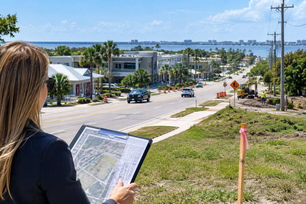
A narrow utility boundary change along Route 60 and 58th Avenue can reprice a Vero Beach parcel faster than a waterfront headline, because water, sewer, access management, and floodplain treatment determine whether land can actually support higher-intensity use. In Indian River County, the difference between a tract inside the urban service area and one still reliant on private systems often decides whether a site can carry a restaurant pad, office-flex building, townhome concept, or Live Local Act mixed-use plan—especially when the parcel sits between mainland growth pressure and 32963 barrier island constraints.
How the Route 60 and 58th Avenue utility decision changes site capacity
For buyers tracking Zoning Laws and Urban Development, the key issue is not just whether the county is willing to talk about extension; it is whether the corridor can deliver practical buildability. A parcel inside the urban service boundary can gain faster entitlement timelines, stronger lender confidence, and a cleaner path to higher density if the future land use map and underlying zoning already support that use. Outside the service area, a property may still be valuable, but the owner often faces added costs for utilities, drainage improvements, off-site access work, and a more uncertain approval calendar.
That matters along Route 60 because the corridor serves as a pressure valve between the mainland and the barrier island. When county planners evaluate infill, they are looking at far more than a conceptual site plan. They are testing fire flow, driveway spacing, stormwater retention, sewer capacity, right-of-way dedication, and traffic concurrency at the same time. If the parcel is large enough to assemble, a change in utility availability can move it from low-intensity hold land to a redevelopment candidate with real income potential. If the parcel is small and irregular, the same change may simply make the site financeable instead of speculative.
Live Local Act interest adds another layer. On the right mainland parcel, a mixed-use building with greater height or density may become feasible if the county code, parking supply, and infrastructure all line up. That does not mean every corridor lot will suddenly support a larger project. It means investors need to look at the service boundary first, because the utility map often tells you more about the next five years of value than the asking price does.
Why barrier island code updates still influence mainland pricing
Barrier island commercial parkway code updates in 32963 do not stay on the island. When the county tightens frontage treatment, parking layout, loading, signage, or access standards near the Atlantic coastal barrier island, the result can shift tenant demand toward mainland parcels that offer easier circulation and lower carrying costs. Mainland lots near bridge approaches or major east-west connectors can benefit when island redevelopment gets more expensive to execute.
Flood risk is part of that price spread. A site in AE zone carries a different insurance, elevation, and construction burden than a site in X zone, and buyers often underestimate how quickly that difference affects pro formas. On a barrier island parcel, even a strong location can lose value if elevation work, flood vents, and finished-floor requirements eat into usable square footage or parking. On the mainland, an X-zone site with comparable access may look less glamorous but produce a stronger net operating number because the build cost is lower and the underwriting is cleaner.
Existing coastal buildings add a third consideration: HOA and condo milestones. If a buyer is eyeing a mixed-use condo or a small commercial-residential stack near the coast, structural inspection timing, reserve funding, and repair obligations can materially affect both financing and resale. That is especially true where older buildings need capital work while nearby new development is bidding up land. A buyer who ignores milestone reports may overpay for a unit that looks aligned with future growth but carries hidden special assessment exposure.
Four-point zoning and land-use due-diligence checklist
- Verify utility status in writing. Confirm whether the parcel is inside the urban service boundary, whether water and sewer are available at the frontage, and whether any extension or lift station work will be required before site plan approval.
- Match the zoning district to the intended use. Review future land use designation, setbacks, height limits, parking ratios, and access rules before you model a retail, office, multifamily, or mixed-use concept.
- Study flood and insurance exposure early. Compare AE and X zones, base flood elevation, drainage capacity, and construction elevation costs before you assume the land will perform the same as a similar parcel inland.
- Check association and building records where applicable. For condos, townhome communities, and mixed-use projects, review milestone inspection status, reserves, rules, and any pending assessments before you remove contingencies.
Final Considerations for Vero Beach Buyers
The real pricing signal in this corridor is not the announcement itself; it is whether the parcel can secure utilities, access, and code compliance without undermining the intended use. Buyers who compare the Route 60 and 58th Avenue utility map, barrier island standards, and flood exposure together are better positioned to avoid paying premium pricing for land that cannot support the project they want. In Indian River County, value follows entitlement clarity, not headlines.
Does being inside the urban service boundary guarantee a higher resale value?
No. It improves the odds of higher-intensity use and a stronger buyer pool, but resale still depends on zoning, access, drainage, flood zone, and whether the site can pass lender and builder review.
Who should review a parcel’s zoning, flood exposure, and code constraints before you offer?
For tailored guidance and experienced local representation, connect with MacEvoy Real Estate Co. to protect your coastal investment.