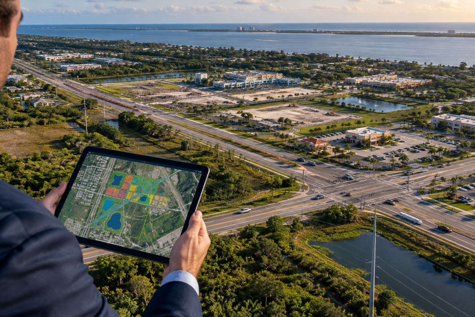
Route 60 and 58th Avenue are becoming a stronger valuation hinge than many owners realize because utility extensions, urban service boundary edits, and concurrency reviews can change what a parcel can legally support long before a site plan is filed.
Utility access is becoming the real dividing line on the mainland
In Indian River County, a tract’s value is no longer defined only by acreage or road frontage. On the mainland west of the barrier island, sewer availability, lift station capacity, and whether a parcel sits inside the next service extension phase can determine whether the best use is low-intensity storage, neighborhood retail, office, or a mixed-use concept. If you are tracking Urban Service Boundary changes and Zoning Laws, the timing matters as much as the map itself. A site that is technically buildable today may still face concurrency delays, while a nearby parcel with cleaner utility access can command a higher price simply because it reduces entitlement risk.
Along the Route 60 and 58th Avenue corridors, that difference shows up in due diligence. Buyers should compare current zoning to the future land use designation, then test whether water, sewer, stormwater, and turning-lane requirements can support the intended use without an expensive variance or rezoning. That is especially important for assemblages, where one small holding-out parcel can change the geometry of access and parking. For investors, the best opportunities are often not the largest tracts but the parcels that sit just inside the path of infrastructure timing and can be held until the county completes the next round of service expansion.
How density, flood risk, and island code changes affect pricing power
The mainland is not the only place where policy is moving value. Live Local Act approvals have encouraged more density and mixed-use conversation in parts of Florida, but the practical result in Vero Beach depends on where the property sits and what the local code will actually allow. On the barrier island in 32963, commercial parkway code updates can influence signage, setbacks, access management, and storefront reinvestment more than headline density numbers. That matters because island parcels often compete on visibility, walkability, and resilience rather than raw expansion potential.
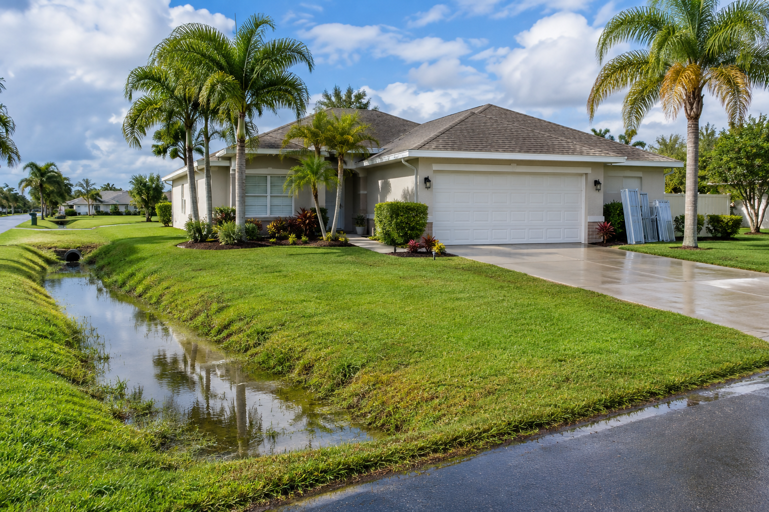
Flood zone status remains a hard pricing factor. An X zone parcel generally offers a different financing and insurance profile than an AE zone parcel, and the spread becomes more important when buyers are comparing mainland sites against coastal inventory. In the island market, buyers also need to account for HOA and condo milestones, reserve adequacy, structural inspection timelines, and the possibility of special assessments. A building with strong ocean or lagoon proximity can still lose market momentum if the association documents, milestone report, or capital plan raise the cost of ownership beyond what the rent roll or resale market can support. That is why a land use change on one side of the county and a condo milestone report on the other can both move value for the same buyer profile: they affect risk, not just aesthetics.
Practical zoning and land-use due-diligence checklist
- Verify the future land use map, current zoning district, and any pending comp plan amendments before making an offer.
- Request utility and concurrency confirmation from the county or municipality, including water, sewer, drainage, and access requirements.
- Check flood exposure, elevation, and insurance assumptions by comparing AE and X zones, then review how storm surge or drainage improvements may affect the site.
- For condos or HOA-governed properties, review milestone inspection status, reserve funding, special assessments, leasing limits, and parking or architectural restrictions.
Final Considerations for Vero Beach Buyers
Vero Beach buyers should treat land use, infrastructure timing, and building restrictions as part of the purchase price, not as paperwork to review later. On the mainland, an urban service boundary adjustment can change a parcel’s highest and best use; on the barrier island, code limits, flood exposure, and association health can do the same. The strongest investments usually come from properties where the legal path, physical access, and carrying costs all line up with the buyer’s plan, not from the listing with the flashiest marketing language.
How do urban service boundary changes affect a Route 60 parcel?
They can determine whether public utilities, higher-intensity uses, and redevelopment potential are realistic in the near term. If a parcel sits outside the active service area, it may still be valuable, but the buyer should price in timing, entitlement risk, and possible infrastructure costs.
Do barrier island code updates usually raise or lower property value?
They can do either, depending on the property type. Better code clarity can support reinvestment and protect commercial visibility, while tighter parking, setback, or access rules can limit redevelopment options. For many 32963 properties, the market response depends on whether the rules improve long-term usability or add costs that the site cannot easily absorb.
For tailored guidance and experienced local representation, connect with MacEvoy Real Estate Co. to protect your coastal investment.